Datasets can be viewed in the WEBGIS application of the project
Taxiarchis-Brastama University Forest Geodatabase:
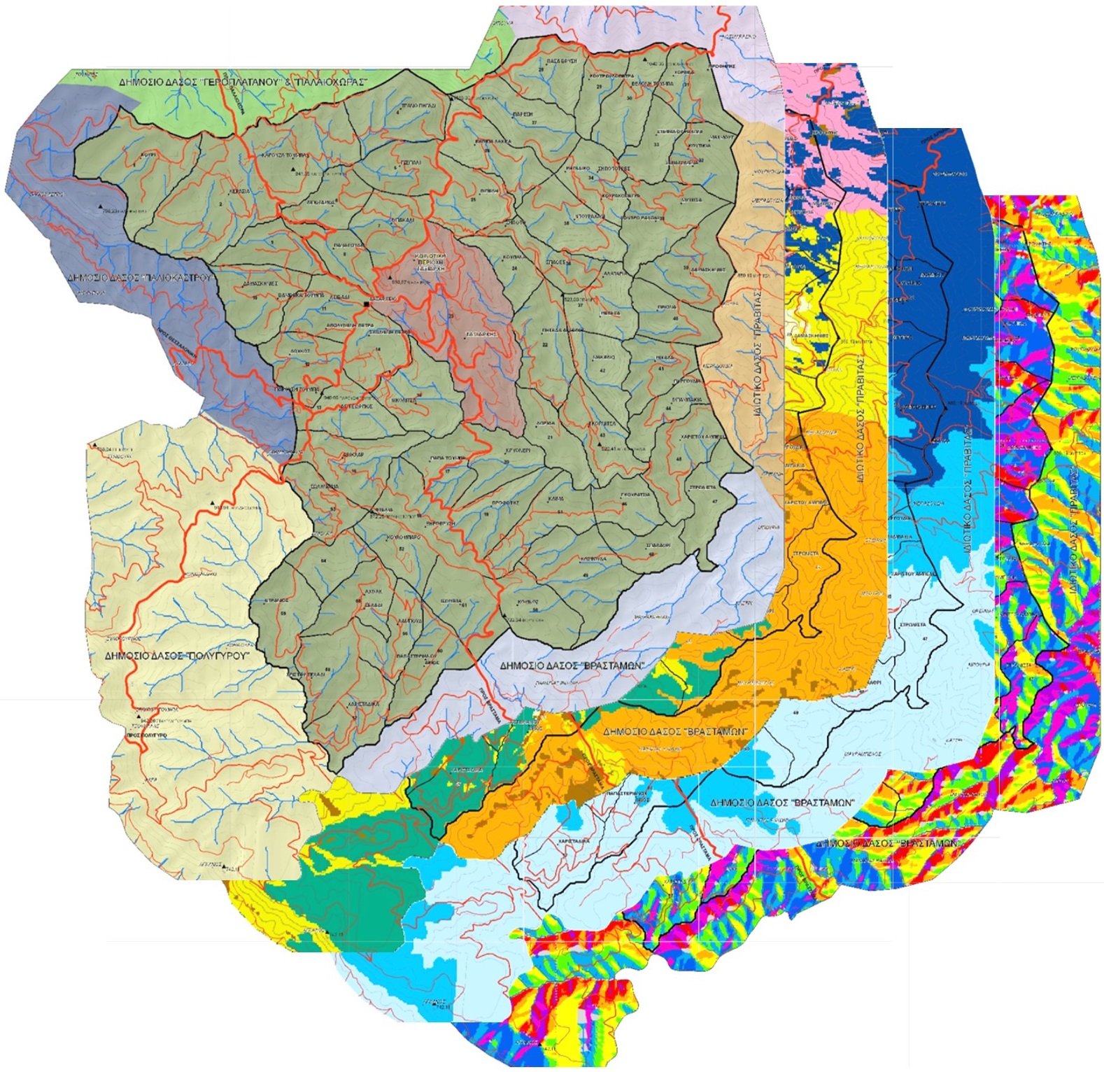 The geodatabase of the forest management plan was a valuable source of information throughout the project development. These are some examples of cases where this geodatabase was used;
- Collection of hyperspectral signatures using a handheld radiometer.
- Species classification using satellite multispectral images.
- Species classification using airborne hyperspectral images.
- Tree height estimation using SAR images.
- Tree height estimation using satellite stereo pair images.
- Forest density estimation and estimation of tree average crown diameter using aerial photography and satellite images.
GeoEye satellite images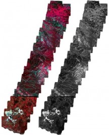
Six GeoEye images were acquired on 21.04.2013, four of them are multispectral (4 channels, 2m spatial resolution) and form stereo pair, while the other two are panchromatic (Channel 1, 0.5m spatial resolution). The images were used to estimate the density of vegetation, and average crown diameter.
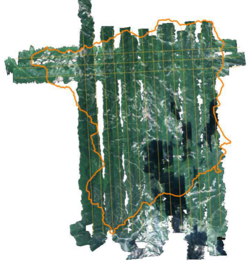
Multispectral aerial photography (by the National Cadastre and Mapping Agency)
Multispectral aerial photographs of 2009 winter,with 1m spatial resolution, were acquired by the National Cadastre and Mapping Agency SA. They were usedfor the forest species identification by photo-interpretation,as well asfor the estimation of the vegetation density.
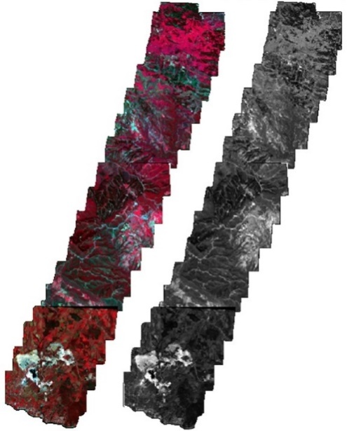
CASI-550 aerial hyperspactral imagery
 CASI hyperspectral imagery was acquired during an aerial campaign on 07.25.2013. The image consists of 71 spectral bands (421.8nm-895.9nm) and has a spatial resolution of 2m. Hyperspectral data were necessary for the classification of forest tree species that belong to the same genus, and proved to bevery important for the automated mapping of forest species. These data also allow for the calculationof a large number of vegetation and chlorophyll indices, which can in turn be used for the estimation of vegetation density.
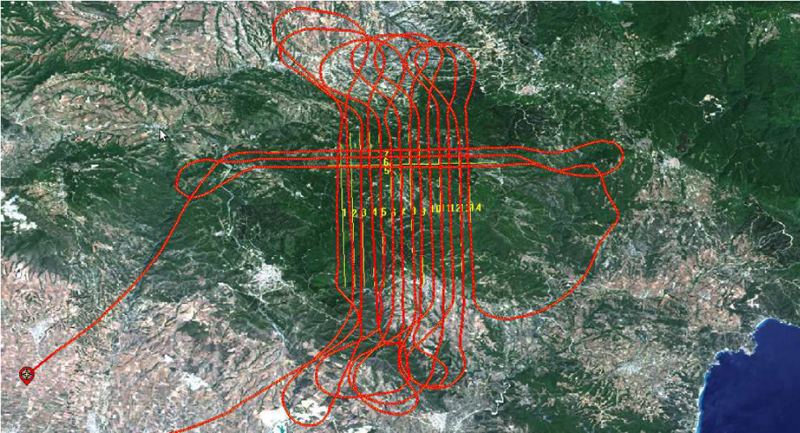
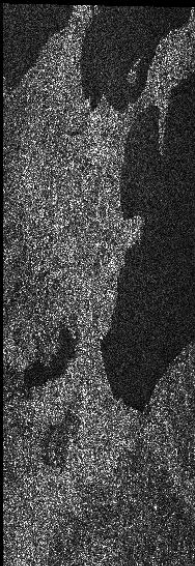
ALOS – PALSAR imagery
Two SAR images (an interferometric pair)by the satellite system ALOS – PALSAR were acquired. The images were of 1270 MHz frequency (L band) and single polarization DD. The pixel size was 7.5 and 3.2 meters in directions lateral distance and azimuth respectively. The main image was captured on 22-01-2010, while the secondary on 09-03-2010. The images were used for the estimation of the mean tree height of the different vegetation types and speciesmapped.
COSMO-SkyMed imagery
Two SAR images (an interferometric pair) by the satellite system COSMO-SkyMed satellite system were also acquired. The images were of 9600 MHz frequency (X band) and single polarization DD. The pixel size was 2.4 and 1.8 meters in directions lateral distance and azimuth respectively. The main image was captured on 30-05-2013, while the secondary on 31-05-2013. The images were used for the estimation of the mean tree height of the different vegetation types and speciesmapped.
SVC HR-1024i spectral signatures
Frequent visits to the study area allow us to acquire dynamic spectral signatures of the forest species under investigation, with a time step of about one month (weather permitting). A SVCHR-1024i hyperspectral radiometer, acquired within the framework of the project, is used for the collection of the signatures. Collection includes signatures of all dominant tree species, in order to create a spectral library useful for tree species identification and classification.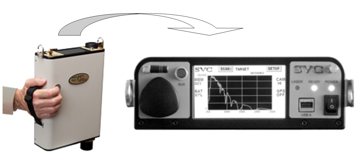

")
-
February 17th, 2015 – Research group meetingThe research groups met and discussed the hitherto progress of the project, and the next steps that will lead to the successful project completion.
-
July 25th, 2014 – Article publishingPart of the project’s results were published in the article "Decision Fusion Based on Hyperspectral and Multispectral Satellite Imagery for Accurate Forest Species Mapping" in the Remote Sensing...
-
March 31st, 2014 - Article publishingPart of the project’s results were published in the article"Mediterranean forest species mapping using classification of Hyperion imagery" in the Geocarto International journal...
-
February 20th, 2014 - Article publishingPart of the project’s results were published in the article "A Comparative Analysis of EO-1 Hyperion, Quickbird and Landsat TM Imagery for Fuel Type Mapping of a Typical Mediterranean Landscape" in...
-
December 11th, 2013 – WorkshopAs part of the project, FMRS organized a workshop called 'Active Earth Observation', with both theoretical and practical parts. The training was held in English by Prof. Dr. Iain Woodhouse(University...
- More news