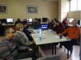
The research groups met and discussed the hitherto progress of the project, and the next steps that will lead to the successful project completion.

Part of the project’s results were published in the article "Decision Fusion Based on Hyperspectral and Multispectral Satellite Imagery for Accurate Forest Species Mapping" in the Remote Sensing journal (DOIi:10.3390/rs6086897).
 Part of the project’s results were published in the article"Mediterranean forest species mapping using classification of Hyperion imagery" in the Geocarto International journal (DOI:10.1080/10106049.2014.883439).
Part of the project’s results were published in the article "A Comparative Analysis of EO-1 Hyperion, Quickbird and Landsat TM Imagery for Fuel Type Mapping of a Typical Mediterranean Landscape" in the Remote Sensing journal (DOI:100/rs6021684).
 As part of the project, FMRS organized a workshop called 'Active Earth Observation', with both theoretical and practical parts. The training was held in English by Prof. Dr. Iain Woodhouse(University of Edinburgh), School of Geosciences, and Mr. Dimitrios Michelakis, candidate Doctorate in the same department.
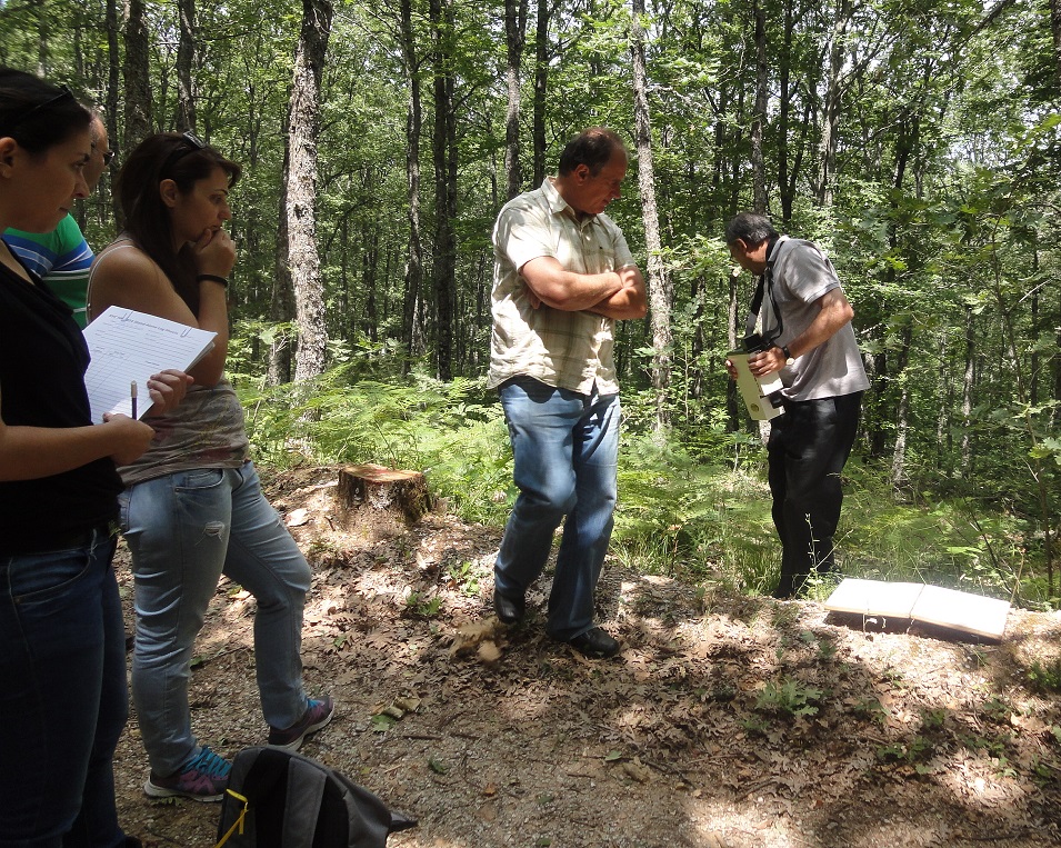 A field campaign using the SVC HR-1024i radiometer was organized. Members of the FMRS team collected spectral signatures for the population of the spectral library of the forest species of the study area.
 Members of the FMRS team were trained in the use of the SVC HR-1024i hyperspectral radiometer,by Dr Kyriakos Themistocles, in both theoretical and practical level.
 An aerial campaign took place, using the CASI-550 hyperspectral sensor. A parallel field campaign was also conducted using a GER 1500 radiometer to collect spectral signature to be used for image calibration purposes.

")